Report a problem
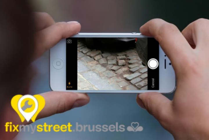
Problems on public roads (both municipal and regional roads) may be reported via the Fix My Street application.
The goal of Fix My Street is the ability to report problems such as:
- wells in the road surface
- damage to sidewalks
- poor road markings and cycle paths
- problems with public lighting
- problems with traffic lights and road signs
- damaged street furniture
- illegal dumping
- problems for people with reduced mobility (sound lights, tactile paving, curbs that are too high, obstruction of pedestrians,...)
- ...
Fix My Street is available as a website and a mobile application for smartphone:
More general problems should be reported directly to the Public Works Department:
Report an illegal dumping on the territory of the City of Brussels?
Illegal dumping can also be reported at the Cleaning Service:
- 0800 901 07 (free) or proprete@brucity.be